Commercial Roof Repair, Replacement & Maintenance
Drone Roof Inspection
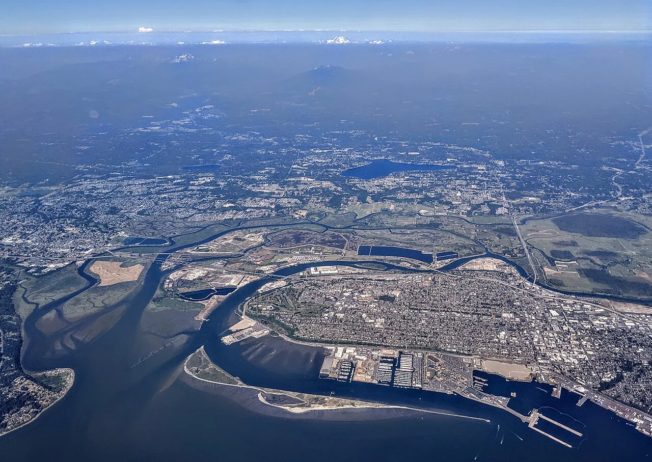
A drone image can show a blocked valley, displaced edge, ponded area, or inaccessible roof section without putting a person on that surface. It does not establish whether a seam is bonded, insulation is wet, or a fastener has lost pullout resistance. We use aerial imaging to answer a defined inspection question, then identify where hands-on review or testing is still needed. Before launch, we confirm the building boundary, nearby people and vehicles, airspace constraints, weather, and the owner's access requirements. Everett's commercial stock includes port, aerospace, warehouse, and aviation uses, so a roof visit can involve active equipment, long spans, tenant controls, or areas that are difficult to reach safely. Paine Field's tenant area includes hangars, maintenance businesses, and airport-support facilities; the Port supports marine and freight operations. Those settings make image planning useful, but the actual roof condition must be read in context. Local rain also affects contrast and access: the Everett normal is 40.25 inches of annual precipitation, concentrated most heavily in November, January, and December. We plan for usable image conditions and record what the weather did not permit. A drone review can supplement a commercial roof inspection, provide an initial map for a moisture survey, or document an area that warrants a closer visit.
Choose the question and flight boundary
Useful imaging starts with a target. The owner may need a current visual map of a large roof, a record of a storm-affected edge, access to a steep or obstructed section, or a comparison after maintenance. We identify that question, the areas to capture, and the resolution needed before flight. A broad overview supports orientation; close imagery can show surface damage if conditions and safe flight position allow. The flight plan is not a substitute for a full roof inspection when the decision depends on seam adhesion, attachment, substrate, or moisture below the membrane.
We coordinate takeoff and landing areas with property staff, keep people clear of the operating zone, and confirm whether traffic, cranes, or material handling could enter the planned path. Industrial properties around the Port and Southwest Everett may have active loading routes or equipment, while facilities near Paine Field require careful coordination with their operating environment. We work within the applicable aviation rules and do not assume that a convenient roof edge is a permitted launch point. The scope records planned coverage, any no-fly areas, and the reason a requested view could not be obtained.
Capture a consistent roof record
During flight, the pilot gathers overlapping views that let the reviewer understand the roof's layout rather than rely on isolated close-ups. The image set should show edges, ridges, drainage features, rooftop equipment, access points, and the relation between a visible condition and nearby details. We note the capture date and weather, then organize images by roof zone so the owner can return to the same area later. If water, glare, wind, shadows, or obstructions reduce clarity, those limits stay attached to the record.
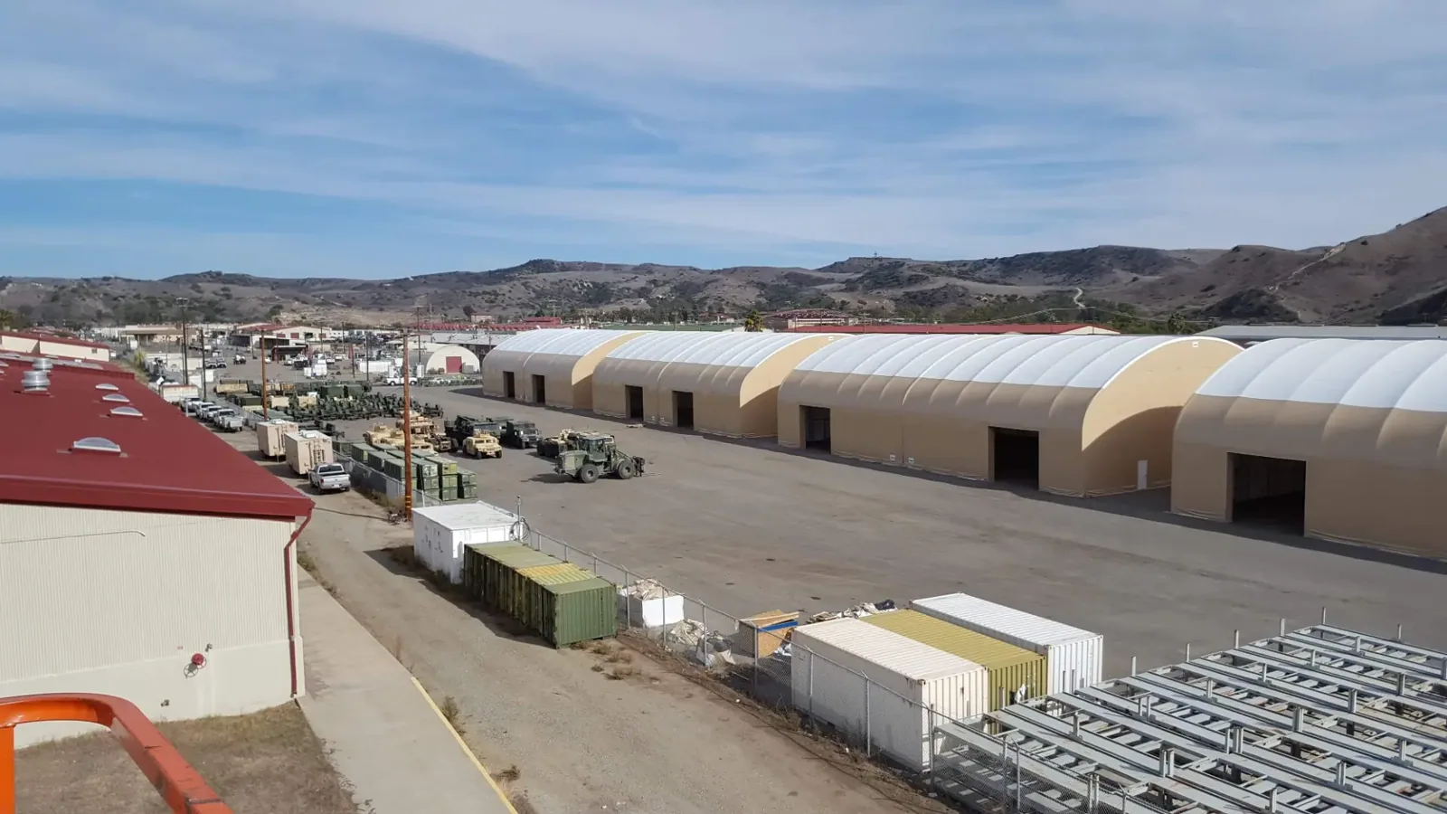
Aerial perspective is particularly useful on large industrial buildings where walking every section may be impractical for an initial review. It can flag debris accumulation, surface disruption, open-looking edges, or drainage patterns for a closer inspection. It cannot verify that water has penetrated the assembly or that a material will accept a repair. When imagery identifies a suspicious seam or penetration, we mark it for ground-truth review and avoid describing an apparent defect as confirmed until a technician examines it directly.
Separate visible clues from diagnosis
We review images for patterns that can direct an inspection: a drain area surrounded by debris, an edge transition with visible displacement, a cluster of rooftop penetrations, or a surface area that appears different from adjacent sections. Each clue is tied to an image and roof location. A dark area could reflect moisture, shadow, dirt, material variation, or recent weather; the image alone does not distinguish those causes. We state what is visible, what remains uncertain, and which test would resolve the question.
Where a leak has been reported, we compare the roof views with the interior symptom and weather timing. A stain below an image-marked area may support a hypothesis, but water can travel beneath a membrane or along a deck. The follow-up may require a close visual check, probe, selective opening, or infrared scan under suitable conditions. A wind damage review uses aerial evidence to map affected areas, then checks whether membrane, metal, or flashing performance has actually changed.
Use images to plan safe access
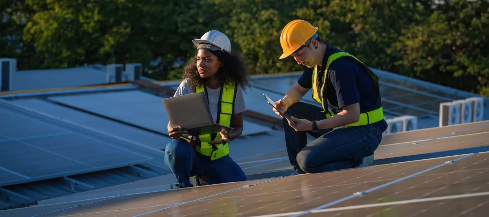
Drone imagery can reduce unnecessary roof travel by identifying where a technician should begin, which access points matter, and whether obstructions alter the route. A large roof may contain fragile skylights, service walkways, low parapets, or equipment screens that are hard to see from a ladder. We use the overview to plan boundaries, not to declare every surface safe. Before a person enters the roof, the crew still checks the actual access, weather, fall protection, surface stability, and any fragile materials.
For a warehouse in the Southwest Everett industrial center, truck movement or staged freight may influence the launch and landing area. Near Paine Field, the building's operating context and aviation procedures can constrain capture. At the industrial waterfront, loading and cargo activity may affect access windows. These local contexts inform coordination; site management confirms the conditions on the day.
Deliver a traceable image set
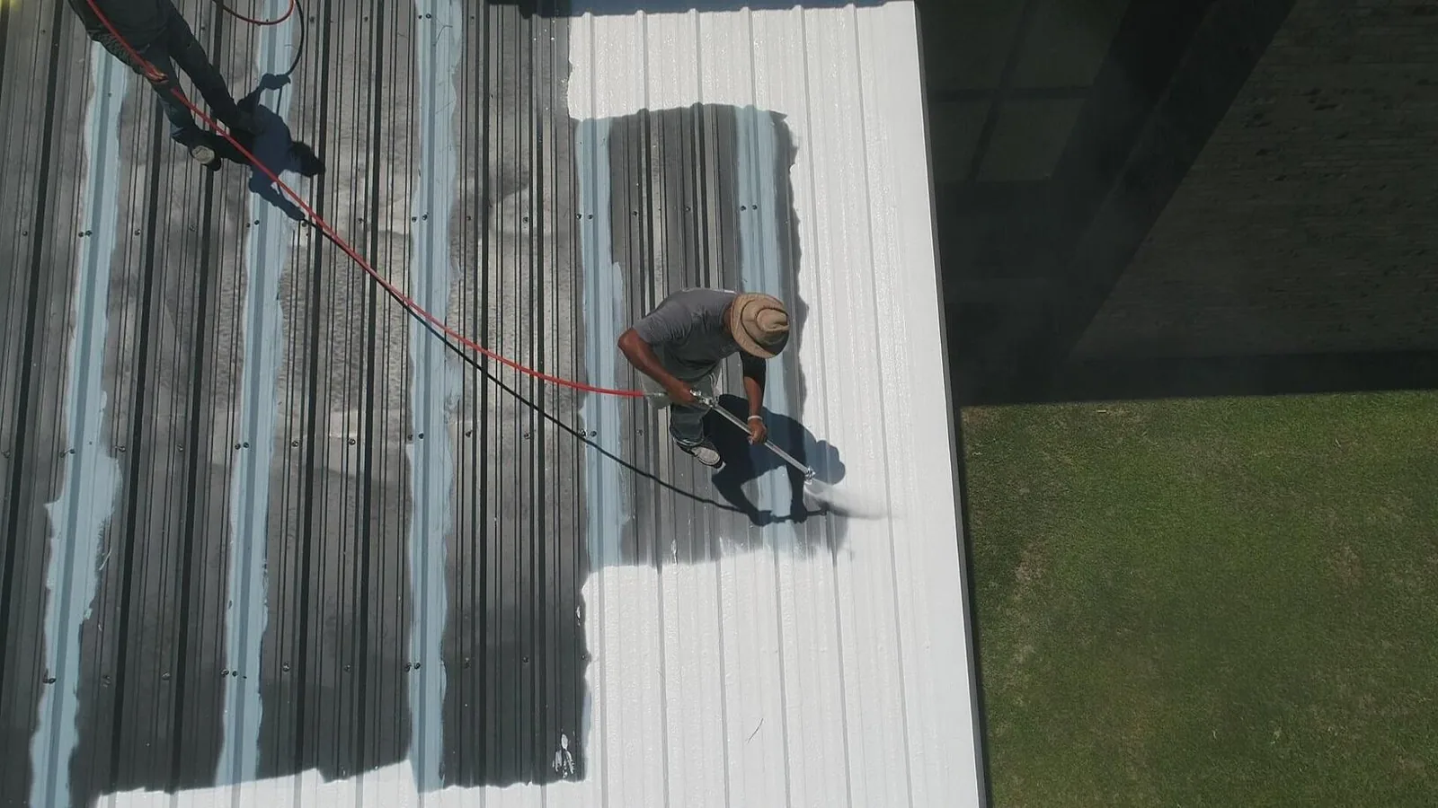
The deliverable should let another person find the viewed area and understand why it matters. We organize annotated images by roof zone, label visible conditions without overstating them, and link each observation to a recommended field check or maintenance action. If the owner wants repeat imagery, the capture path and reference points should be consistent enough to compare changes over time. Aerial records are most useful when stored with inspection reports, repair dates, and roof plans instead of as an isolated folder of photographs.
For portfolio teams, a condition report can combine the image map with hands-on findings, repair priorities, and limitations. A roof asset program can retain those records by building and zone. We state whether the service was imaging only or included a physical inspection; those scopes answer different questions and should not be merged in a maintenance history.
Select the next inspection step
After reviewing imagery, the owner can decide whether to dispatch for a focused repair, commission a moisture survey, or build a broader condition baseline. We identify the next step by evidence: a clear open detail may need hands-on repair assessment; a broad area with uncertain moisture may need testing; a surface that only shows cosmetic variation may warrant observation. The recommendation names the roof zone and explains what remains unknown.
Drone inspection is not intended to replace physical review for every building. It is a way to collect a repeatable view where access, size, or safety makes an initial map useful. In Everett's wet season, image timing also matters because standing water, rain-darkened surfaces, or glare may obscure a detail. We schedule capture when the expected image quality supports the decision, then preserve the data with date, weather, and coverage limits. Request an Everett drone inspection with the building address, roof plan if available, and the question you need answered; we will scope imagery around that need.
Commercial Roofing Questions
Can a drone confirm a roof leak?
No. Images can map visible conditions and guide a technician, but they cannot confirm concealed water entry or moisture below the membrane.
When is aerial imaging useful?
It can help map large, obstructed, steep, or difficult-to-access roof areas and document visible conditions for later comparison.
Do you still need to walk the roof?
A person must inspect details when the decision depends on adhesion, attachment, substrate, or hidden moisture. The image set helps plan where that review should focus.
What can affect image quality?
Rain, wind, glare, shadows, obstructions, and operating activity can limit coverage or detail. The report records those conditions and any areas not captured.
Can you compare images over time?
Yes, when repeat flights use consistent reference points and are stored with dates, roof zones, and inspection findings.
Questions Owners Ask
Can a drone confirm a roof leak?
No. Images can map visible conditions and guide a technician, but they cannot confirm concealed water entry or moisture below the membrane.
When is aerial imaging useful?
It can help map large, obstructed, steep, or difficult-to-access roof areas and document visible conditions for later comparison.
Do you still need to walk the roof?
A person must inspect details when the decision depends on adhesion, attachment, substrate, or hidden moisture. The image set helps plan where that review should focus.
What can affect image quality?
Rain, wind, glare, shadows, obstructions, and operating activity can limit coverage or detail. The report records those conditions and any areas not captured.
Can you compare images over time?
Yes, when repeat flights use consistent reference points and are stored with dates, roof zones, and inspection findings.
Map the roof before the next access decision
Request a commercial drone roof inspection in Everett. We will define the image coverage, document visible conditions, and identify where hands-on review remains necessary.
Related Roofing Work
- Commercial Roof Inspection
- Infrared Moisture Survey
- Wind Damage Roof Repair
- Southwest Everett Industrial Center
- Paine Field and Boeing Manufacturing Center
- Everett Industrial Waterfront
- Commercial Roof Condition Reports
- Commercial Roof Asset Management
Browse every page in Commercial Roofing Services, or request a roof assessment and we will walk the roof with you.
Questions about this roof? Call 555-555-5555.